
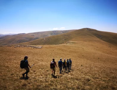

The Mavrovo National Park is the largest of the four national parks of Macedonia. Located in the west of the country, it spreads over an area of about 780 km2 (300 square miles) and is characterized by deep canyons, lakes, and dense forests that abound with diverse wildlife. It was established in 1949 by a law passed by the National Assembly of Macedonia; later the legislation was changed to enforce a much stricter protection system, dividing the park into three zones: strict nature reserves, managed reserves, and a tourist zone.
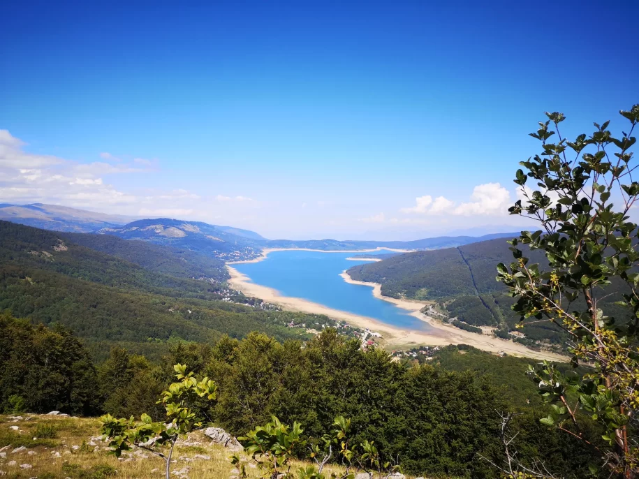
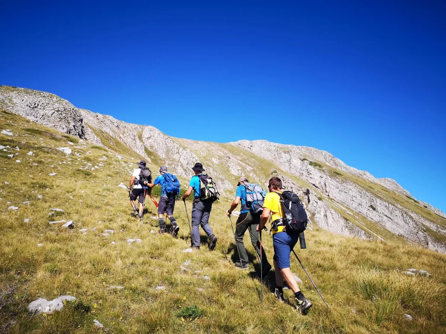
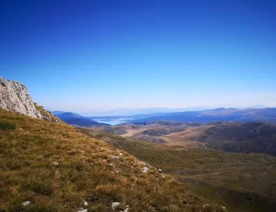
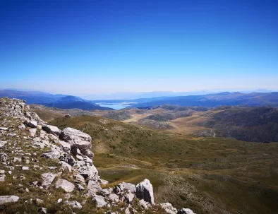
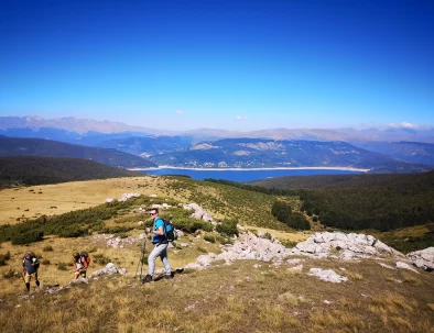
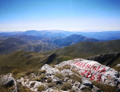
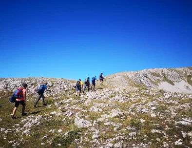
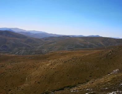
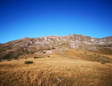
The relief of the park contains three Alpine mountain systems: the Šar, Korab and Bistra mountains. The Šar and Korab exceed heights of 2700 m (the Korab peak, with its 2764 m, is the highest in North Macedonia). These mountains are distinguished by chains of snowy, jagged peaks and broad grassy plateaus below them. Between the three mountains extends the Radika gorge for more than 25 km (16 miles). Vertical cliffs exceeding 300 m (980 feet) rise above the waters of the Radika river.
The park area contains other interesting natural phenomena—the highest waterfall in the Balkans (with a vertical fall of approximately 120 m), alpine bogs in the Šar mountains as remnants of the Ice age, rare karst relief (including beautiful caves) in the Bistra mountains, as well as numerous glacial lakes throughout the Alpine zone.
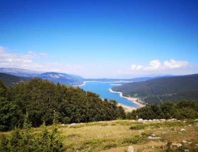
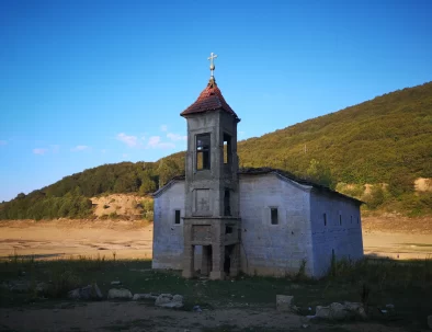
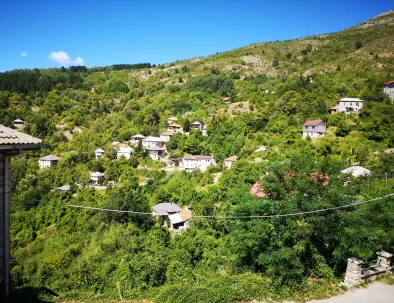
The national park, the lake and the region are named after the village of Mavrovo.
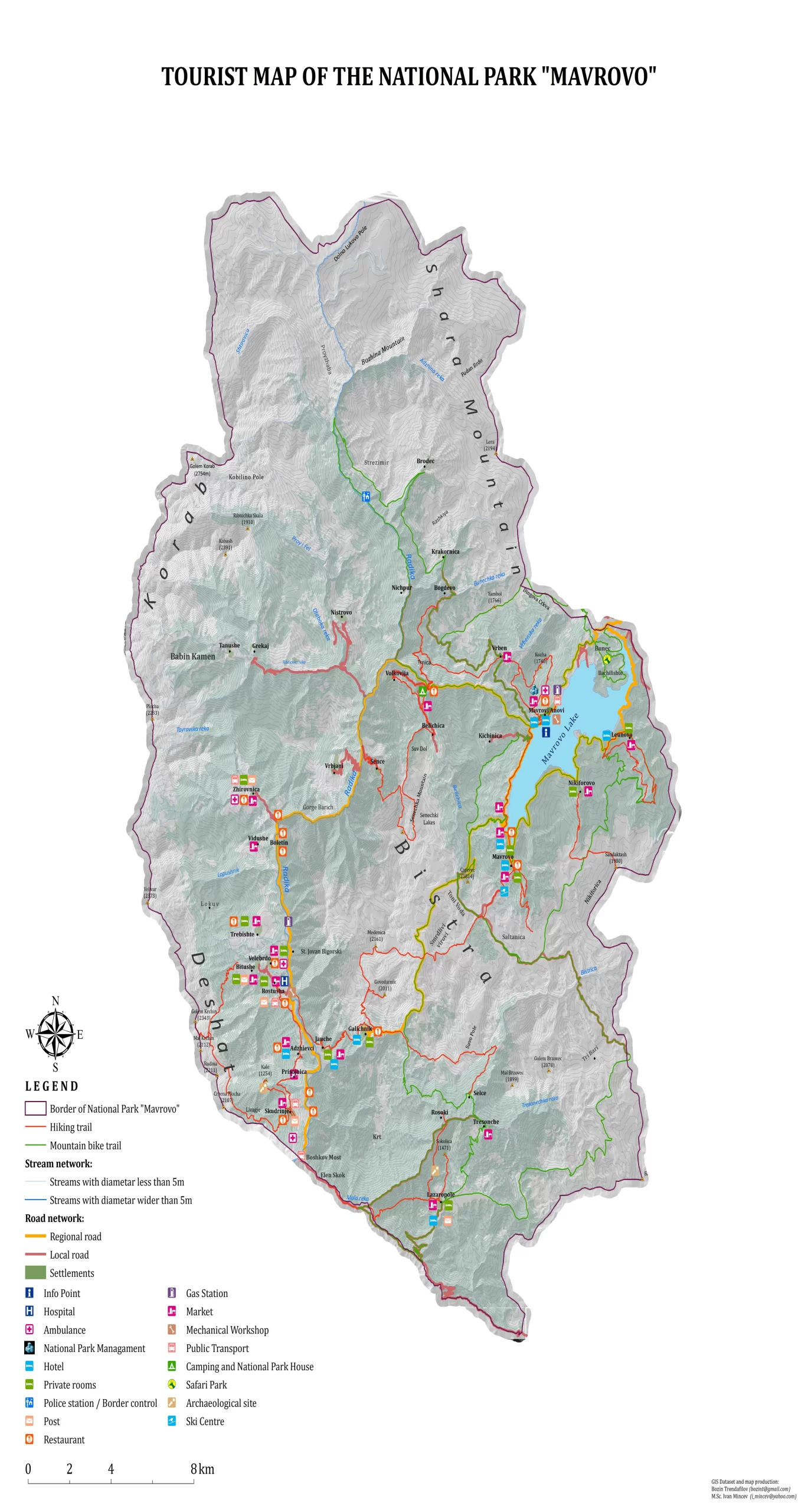
On this tourist map, you can see all Tourist-Recreational Zones. In general, it has several zones of Mavrovo National Park.
Tourist-Recreational Zone Mavrovo Lake
Tourist-Recreational Zone Radika
Tourist-Recreational Zone Bistra
For a larger version of the map click on the map.
Click here to find more information that you must know before visiting National Park Mavrovo
Click here to find more info where you can pay tourist tax for visiting the Mavrovo National Park
Click here to visit official website of Mavrovo National Park
Nobody wants them but you know we must add them to our website. To provide the best experiences, we use technologies like cookies to store and/or access device information. Consenting to these technologies will allow us to process data such as browsing behavior or unique IDs on this site. Not consenting or withdrawing consent, may adversely affect certain features and functions.